Oldest ice
Fine-scale layering in Earth’s oldest ice
Resolving cm-scale stratigraphy to understand how folding and basal processes alter climate signals in ancient ice.
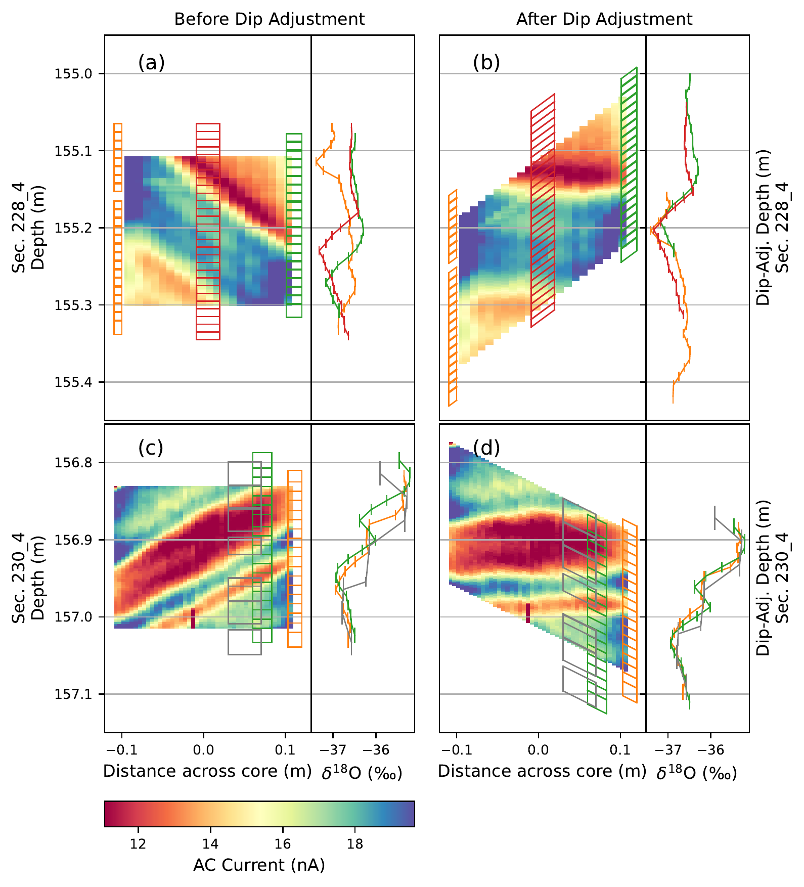
The oldest Antarctic ice, found at the Allan Hills, is not preserved as a simple, continuous archive like a classic ice core. As glaciers flow over rugged bedrock, layers of ice become folded, compressed, and steeply tilted, creating abrupt "age jumps" where neighboring layers can differ in age by more than 100,000 years despite being separated by only a few centimeters. Because these layers cut diagonally across the core, samples taken from the same depth on opposite sides can represent entirely different ages and climate states, complicating the interpretation of Earth's oldest ice.
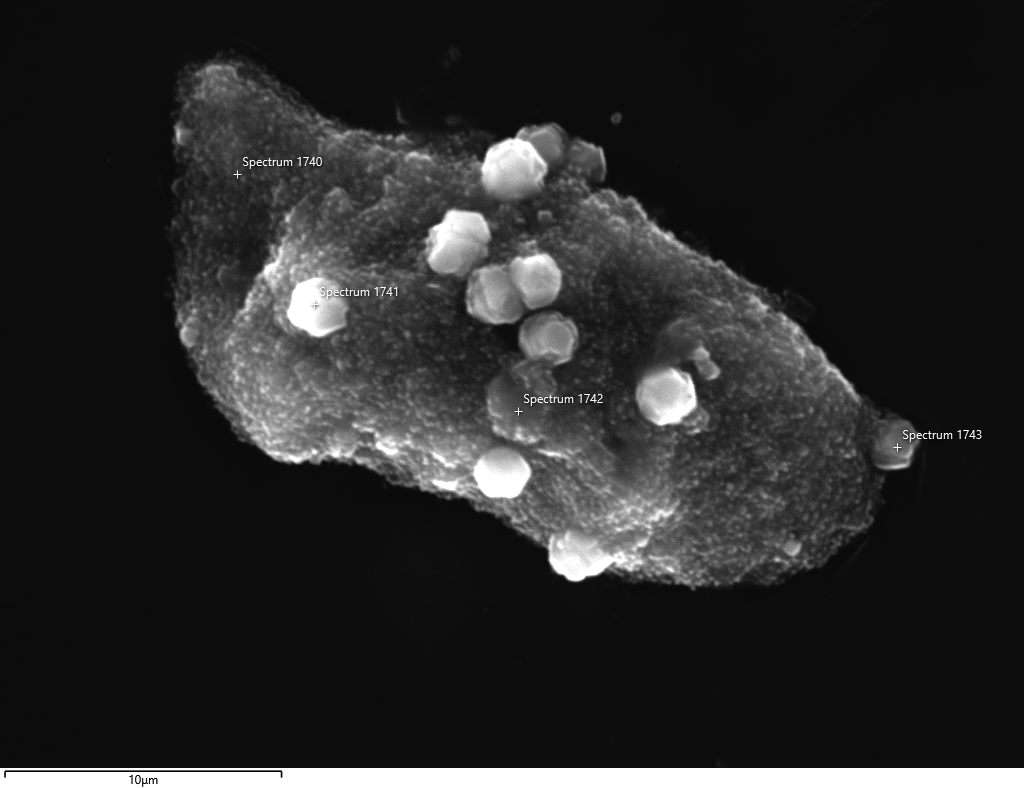
In this work, we combined three-dimensional electrical conductivity measurements with water isotopes, greenhouse gases, argon dating, and high-resolution geochemical and particle analyses to reconstruct the geometry and composition of these layers. By accounting for their steep orientation and aligning all measurements on a shared, dip-adjusted depth scale, we showed that measurements from different parts of the core could be accurately compared. The chemistry and particle data further revealed that many of the layers represent distinct packets of ice containing different amounts of material incorporated from the glacier bed, rather than a single continuous climate record.
Together, these results demonstrate how basal processes and ice deformation create the complex layering observed in the Allan Hills. This work provides a new framework for interpreting disturbed ice cores and aids efforts to use Earth's oldest ice to reconstruct past climate and atmospheric composition with greater confidence.